Our Services
Erick Surveyors delivers licensed, professional land surveying and GIS services across Kenya. Whether you're buying, selling, subdividing, or developing land, we have you covered.
Boundary Surveys
Establish and verify property boundaries with precise, court-admissible measurements.
Land Subdivision
Legally subdivide land into parcels ready for title transfer, sale, or development.
Topographic Surveys
Detailed maps of elevation, features, and contours for planning and construction.
Beacon Identification
Locate and re-establish missing or disputed boundary beacons on your land.
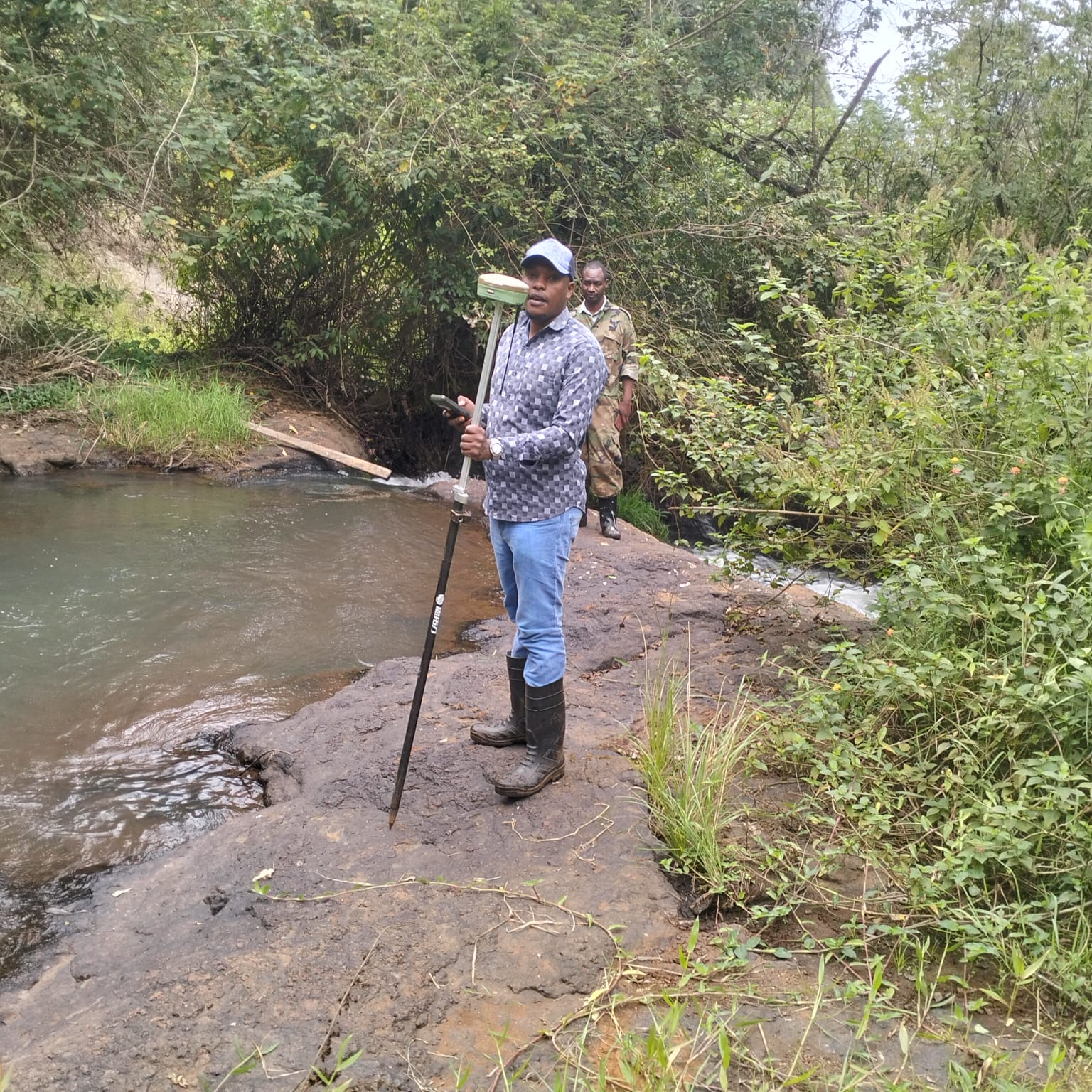
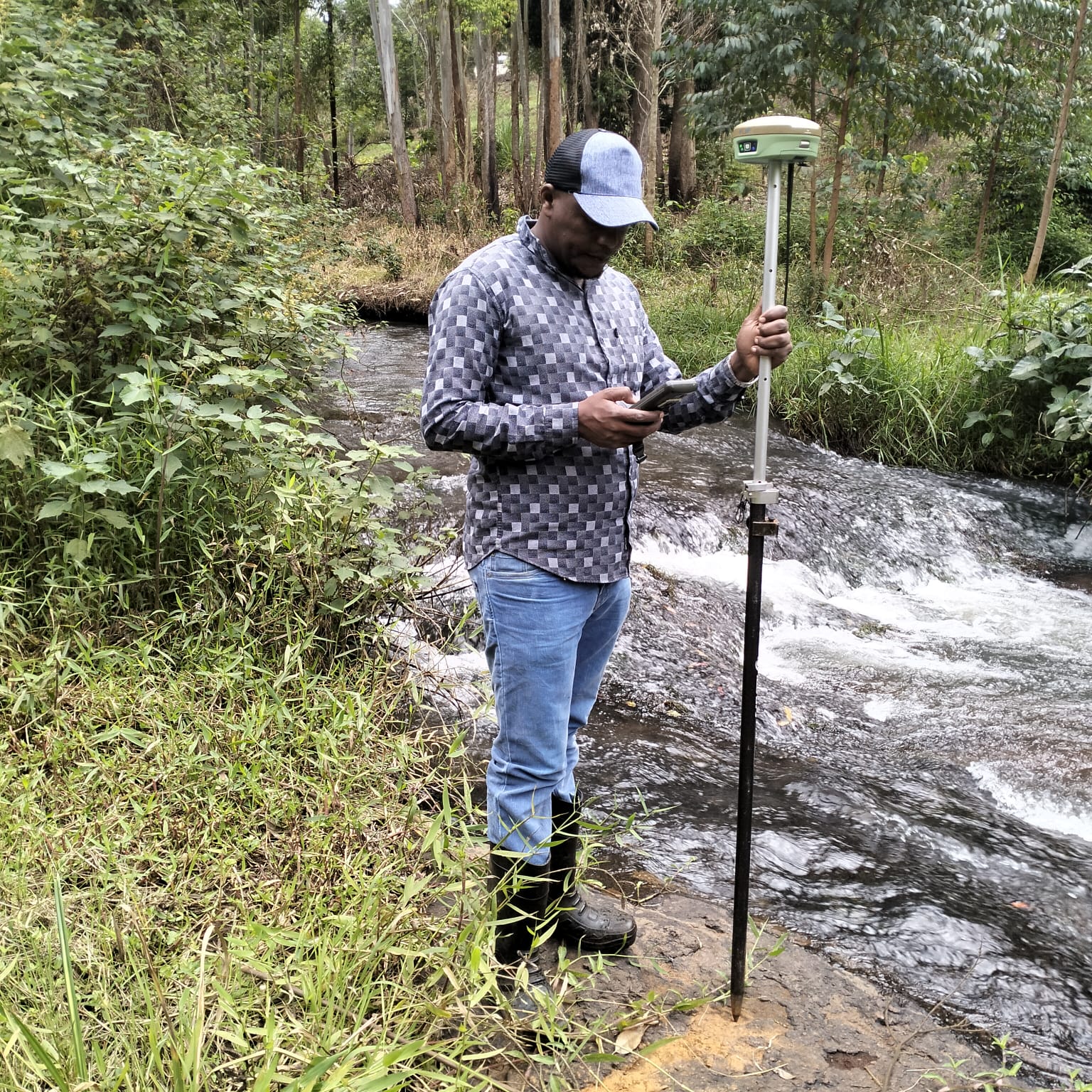
GPS / GNSS Mapping
Sub-meter accurate GPS mapping for large parcels, farms, and infrastructure.
Cadastral Surveys
Official surveys used for registration of land ownership at the Ministry of Lands.